City guide · 2026
CityGuide 360
A QR-poster city guide for Honduras, built so a tourist standing in a plaza gets a straight answer in four seconds. No app to install, no account, no search box.
- The goal
- So visitors never get lost.
- What we made
- The guide, the QR posters and the tools to run it.
The story
A visitor in the centre of Tegucigalpa has three bad options: a guidebook that went out of date two years ago, a maps app that knows the coordinates but not the story, or a review site whose opening hours were last confirmed by a stranger in 2019. Meanwhile a café with no website is invisible to a tourist standing directly outside it.
What we made
01 · Website
See it live
cityguide-360.vercel.app
 Open the site ↗
02 · Approach
The calls we made
- 01
A poster on a wall
Fixed to one spot, it knows where you are without asking for your location, and it reaches people for the price of printing.
- 02
“Open now”, and honest about it
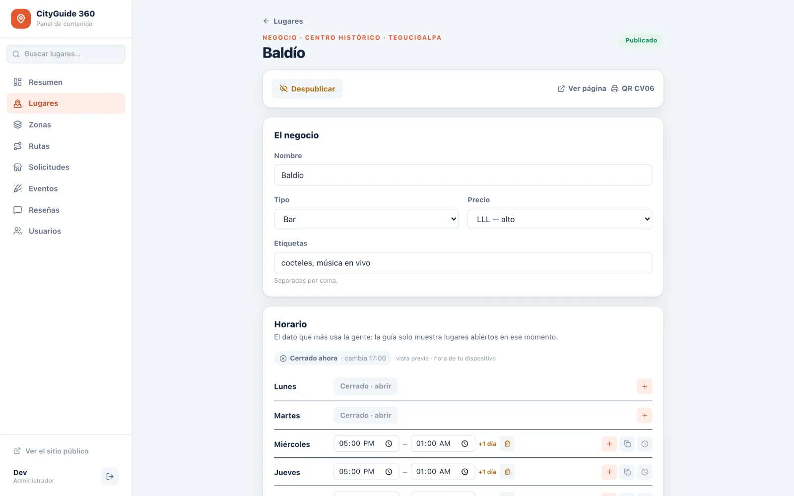
Hours follow the Tegucigalpa clock and the national holiday calendar, and a listing nobody has confirmed in ninety days says so.
- 03
Businesses keep their own listing, no account needed
A private link opens their page to a single green button: “my hours are still the same”.
- 04
It grows with the place
Zones nest from district to sector to trail to room, so a pilot neighbourhood can grow into a national park without starting over.
- 05
Routes that explain themselves
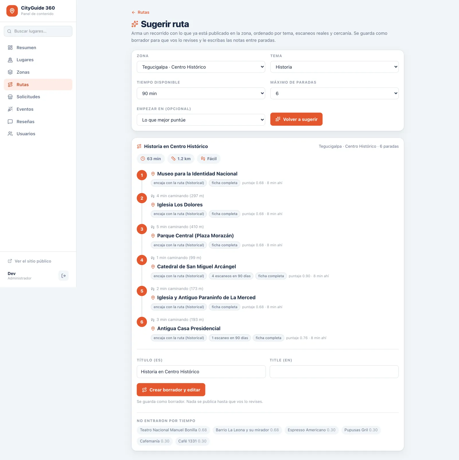
The guide suggests a walking route from published stops and shows why it picked each one. Sponsoring a place never moves it up the list.
03 · Images
The pieces
What came of it
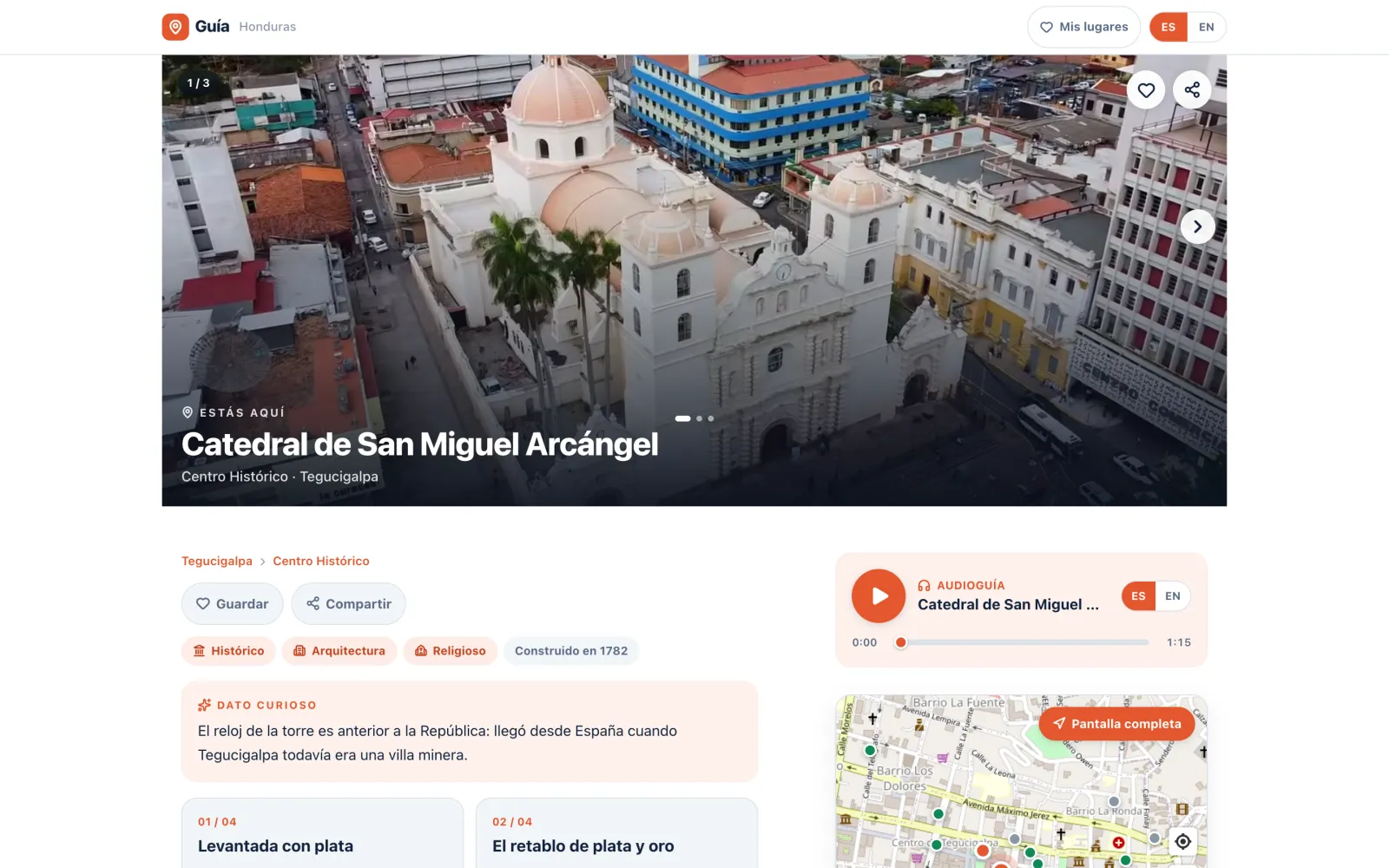
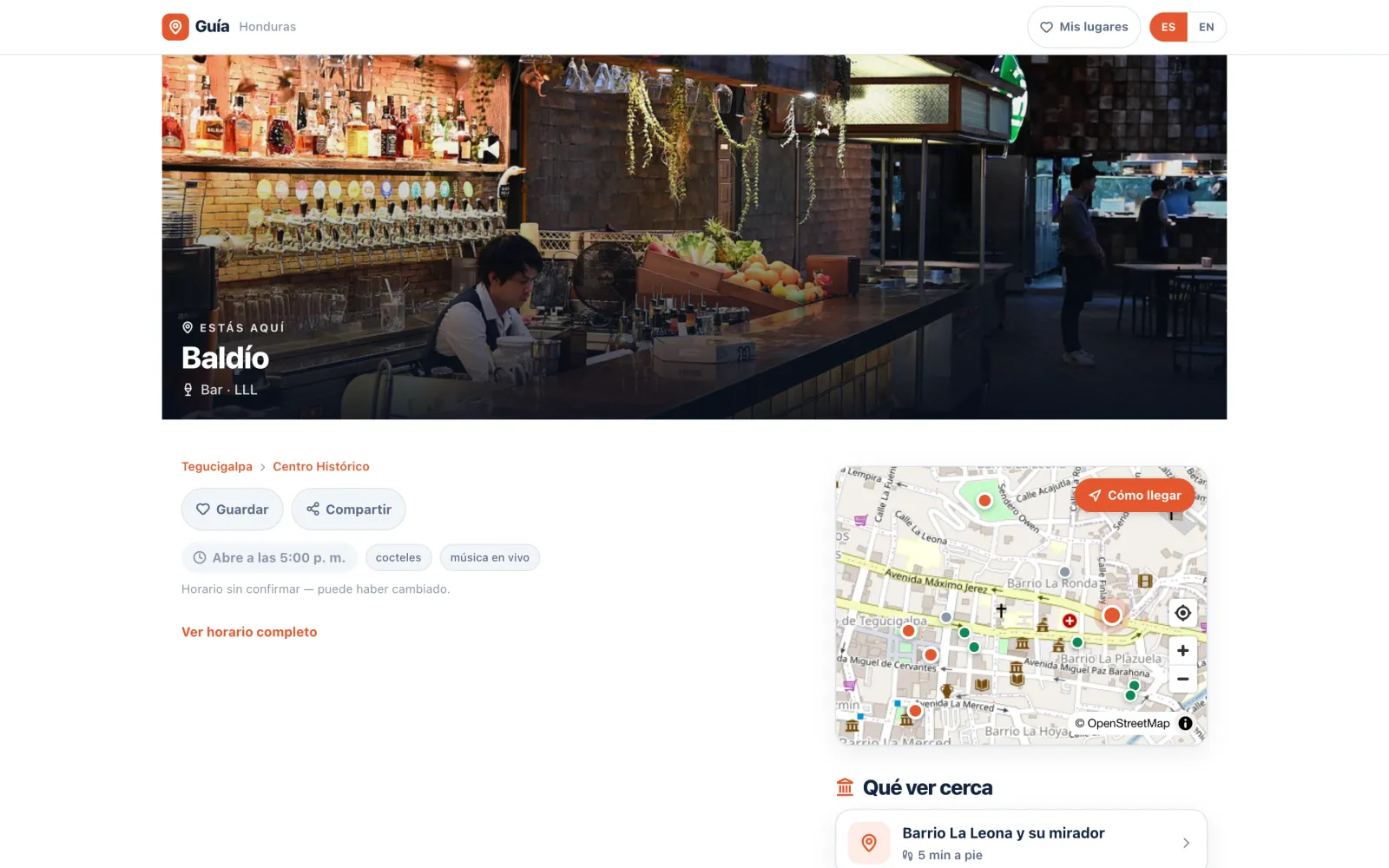
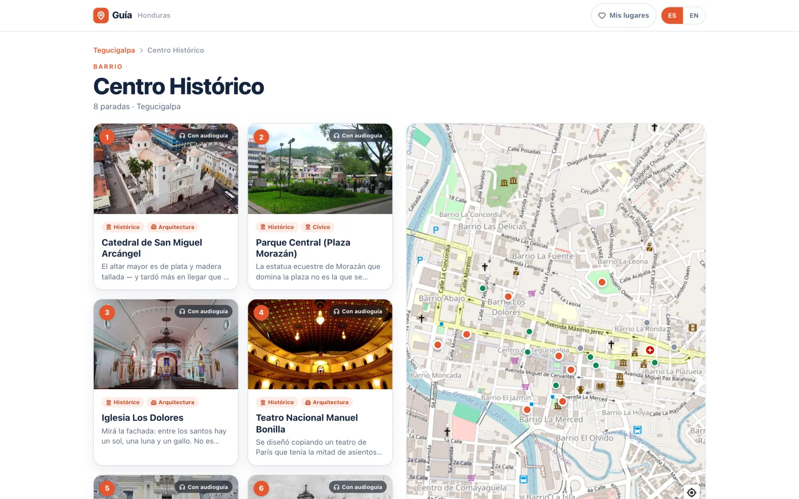
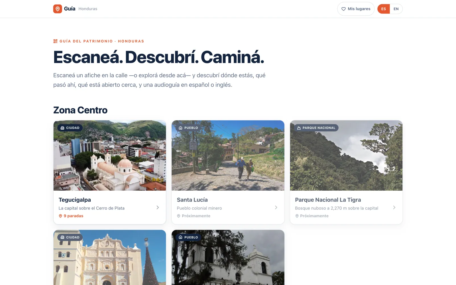
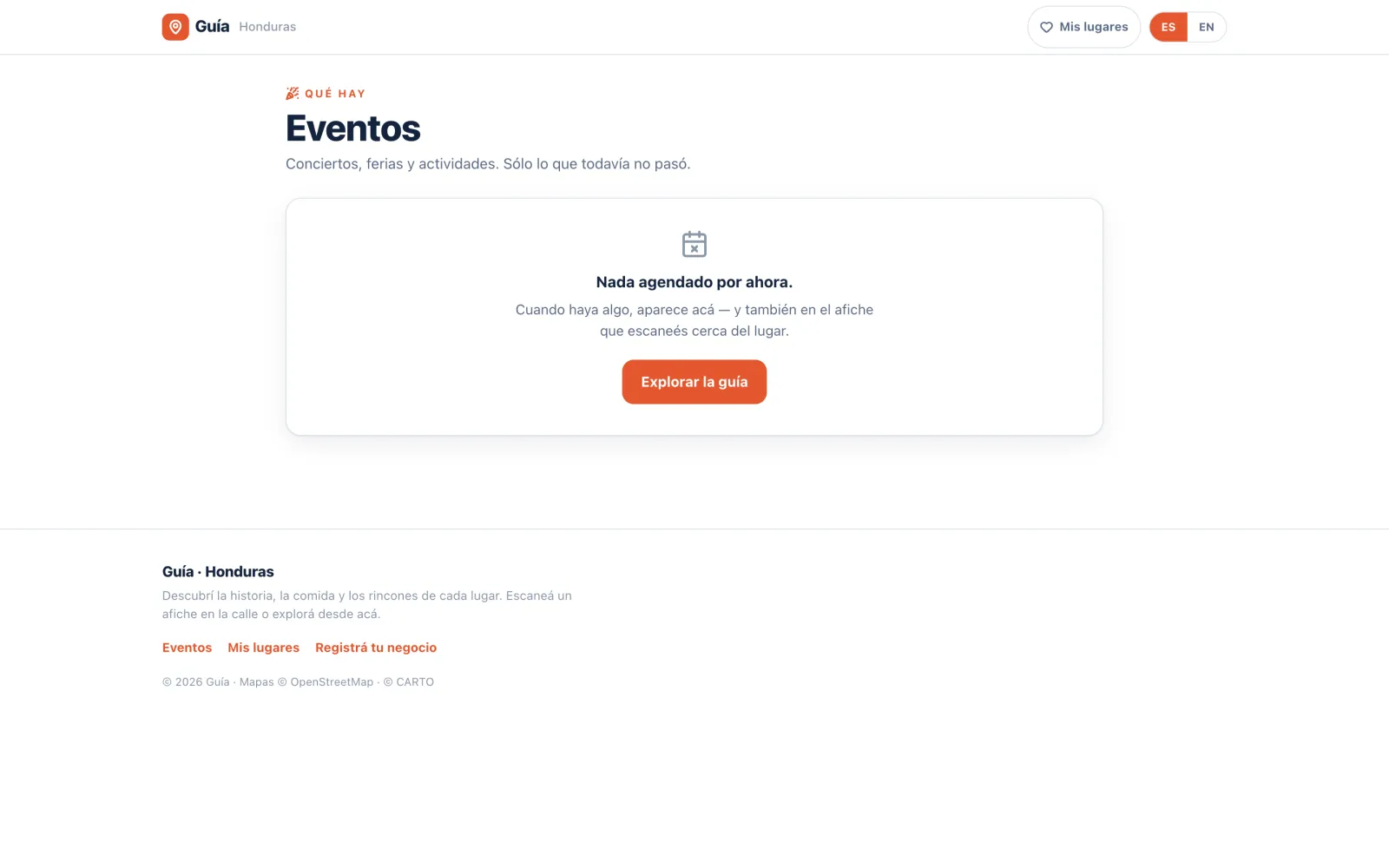
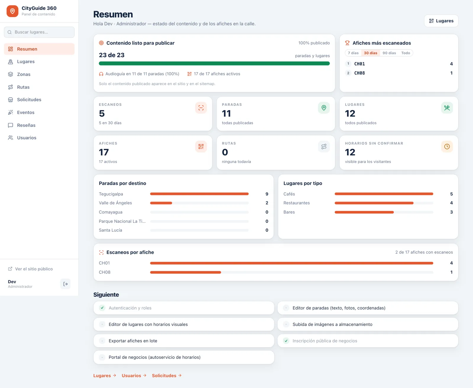
A working pilot: 5 destinations, 11 heritage stops, 12 venues, 17 posters and 36 photographs, in Spanish and English, with everything needed to run it behind the scenes. Distances come in walking minutes rather than metres. The posters aren't on walls yet. Printing the Centro Histórico run is the next step.
What’s your goal?Let us help.
Tell us in a few lines what you need to achieve and by when. Mar will write back with how we’d do it.
Tell us the goal